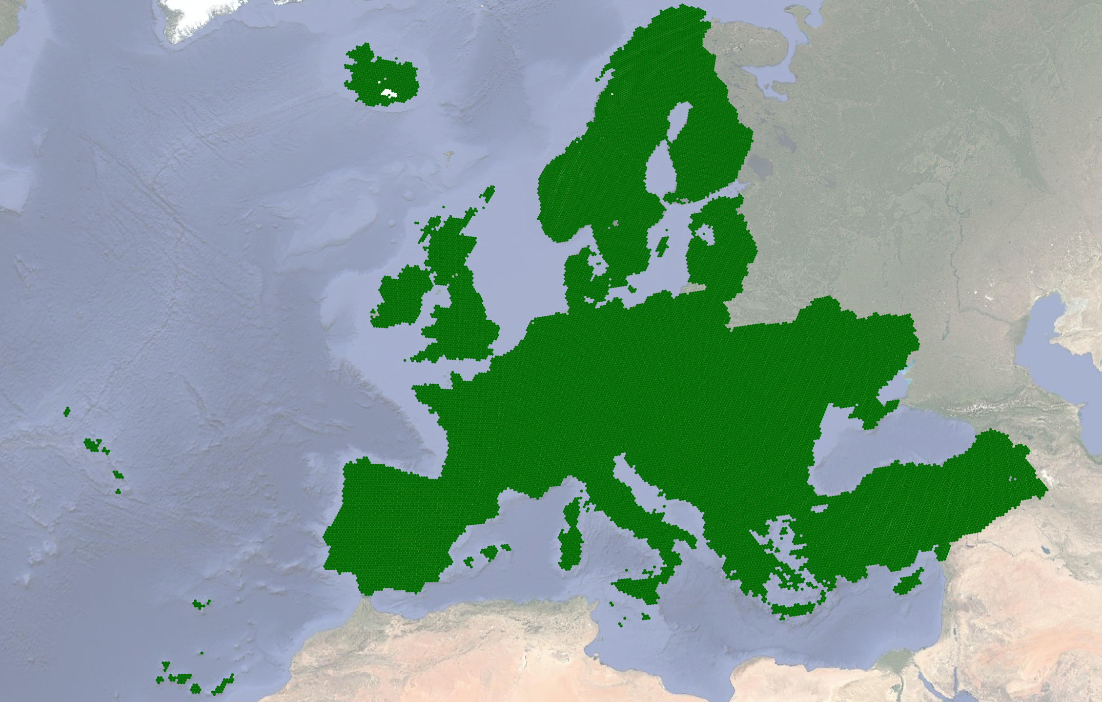
eu-fb.png
URL: https://data.source.coop/planet/eu-field-boundaries/eu-fb.png
Dataset description:
A vector dataset of Field Boundaries, automatically delineated from Sentinel-2 satellite imagery from May-June 2022.
Source: Agricultural Field Boundaries over EU
Additional Information
| Field | Value |
|---|---|
| Data last updated | October 3, 2024 |
| Metadata last updated | June 18, 2026 |
| Created | June 18, 2026 |
| Format | PNG |
| License | Other (Public Domain) |
| Datastore active | False |
| Datastore contains all records of source file | False |
| Has views | True |
| Id | 2429c56f-a14a-4c42-a2fd-8eb27f290e22 |
| Package id | edcae52d-2d45-5804-a1d1-54e827c1742e |
| Position | 2 |
| Size | 2.5 MiB |
| State | active |
| ID | |
| Hash | |
| Same as | |
| Subresources |